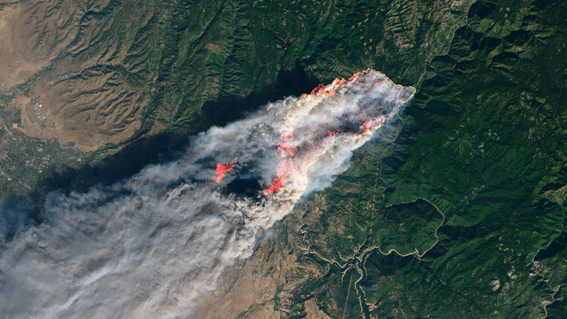
Automate your wildfire response
From satellite
detection to action
— protect your business
with alerts that trigger sprinklers, shutdowns, and team notifications.
Global Coverage
Monitor any location worldwide with satellite data.
Fast Alerts
Get notified within minutes via email, SMS, or push.
Smart Automation
Connect to your systems using API, webhooks, or AI agents.
How FirePing Works
Three simple steps to strategic wildfire early warning for your property
Set Up Monitoring Zones
Add your locations, define custom perimeters, and choose notification channels and rules for each property.
Tailor alerts to your risk tolerance—set proximity, intensity, and who gets notified.
Satellite Detection & Rapid Alerts
Satellites continuously scan your zones for wildfire signatures. When fire is detected, FirePing sends notifications to your team within minutes.
Advanced thermal imaging and real-time alerting keep you ahead of the threat.
Coordinate Defense
Automatically trigger irrigation, activate fire suppression, notify your team, coordinate with authorities, verify threats locally, and prepare equipment—all from a single alert.
Orchestrate a rapid, multi-layered response using your existing systems and FirePing automations.
Integration Timeline
Setup Account
5 minutesConnect Systems
15 minutesActive Protection
24/7 monitoringIndustry solutions designed for integration
Choose the FirePing playbook tailored to your assets. Every solution page explains the wildfire risks that matter, the integrations we support, and the automations you can activate today.

Vineyards & Wineries
Protect premium vines with satellite detection that talks to your irrigation controllers and wind machines.
- Automatically trigger vineyard sprinkler or misting systems when fire confidence hits your threshold
- Deliver alerts to field teams, SMS trees, and AI copilots so crews move before smoke reaches the block

Agricultural Operations
Keep orchards, tree nuts, and specialty crops online with wildfire intelligence that plugs into existing water automation.
- Activate multi-zone irrigation and sprinkler systems automatically
- Integrate with telematics, SCADA, and AI agents via API or MCP for precision wildfire response
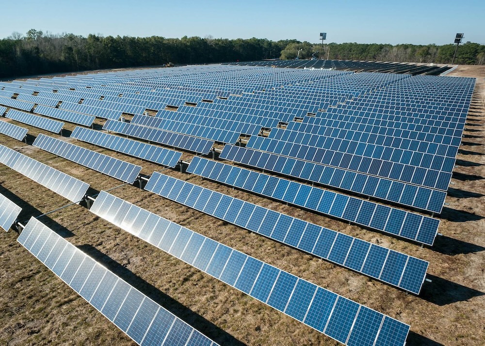
Solar Farms
Monitor arrays and surrounding vegetation, then orchestrate safe shutdowns and suppression from your existing SCADA stack.
- Trigger automatic shutdowns of inverters and sensitive equipment
- Activate on-site sprinklers or suppression systems via API/webhooks

Property Management
Give estates, resorts, and commercial campuses wildfire visibility that syncs with access control and sprinkler systems.
- Automate sprinklers, gates, and fire suppression systems across sites
- Control and monitor responses remotely from a single dashboard
Global Coverage
FirePing provides worldwide wildfire monitoring using NASA satellite data. Particularly valuable in high-risk regions like California, Australia, Canada, Mediterranean Europe, and other fire-prone areas.
Why Choose FirePing?
Strategic early warning system designed to work with your existing fire protection and detection infrastructure
Strategic Advantage
Get advance warning from your customizable monitoring zone to prepare defenses before fires reach your perimeter—time to verify, stage, and coordinate
Water Conservation
Preserve precious water resources with targeted activation only when fire threat is imminent
Remote Protection
Protect your property even during evacuations with automated systems you can monitor from anywhere
First Layer Defense
Complements your existing fire detection systems—satellites provide wide-area early warning while local sensors verify and pinpoint threats
Risk Management Value
Demonstrate proactive wildfire monitoring to insurers and regulators—potentially reducing premiums and improving compliance
Property-Specific
Customized monitoring zones, fire intensity thresholds, and activation parameters tailored to your property
Simple, Transparent Pricing
Choose a plan that fits your protection needs.
Free
- 1 location
- 1-25 km monitoring radius
- Push notifications
- AI via MCP
- REST API access
- 100 API calls/month
- 1 webhook
For individuals and businesses looking to automate monitoring of 1 location worldwide.
Start Free TrialStarter
- Everything in Free, plus:
- 10 locations
- Email notifications
- Custom notification rules
- 1000 API calls/month
- 10 webhooks
- Human support
For businesses with multiple locations, email notifications, higher limits and human support.
Start Starter PlanProfessional
- Everything in Starter, plus:
- 100 locations
- 1-50 km monitoring radius
- SMS notifications
- 10000 API calls/month
- 100 webhooks
- Priority support
For businesses with larger operations, SMS notifications for critical alerts and priority support.
Start Professional PlanEnterprise & Custom Solutions
Large agricultural operations, solar farms, and enterprise customers with custom integration requirements.
Unlimited Properties
Monitor 100+ properties with unlimited API calls and custom monitoring zones
Advanced Automation
Unlimited notifications and API access, custom irrigation controller integration, bespoke multi-zone activation, weather-based triggers, MCP for AI systems
Dedicated Support
24/7 phone support, on-site setup assistance, dedicated account management
Custom pricing • On-site setup • Dedicated account management
Frequently Asked Questions
Everything you need to know about FirePing's wildfire monitoring and automated response system